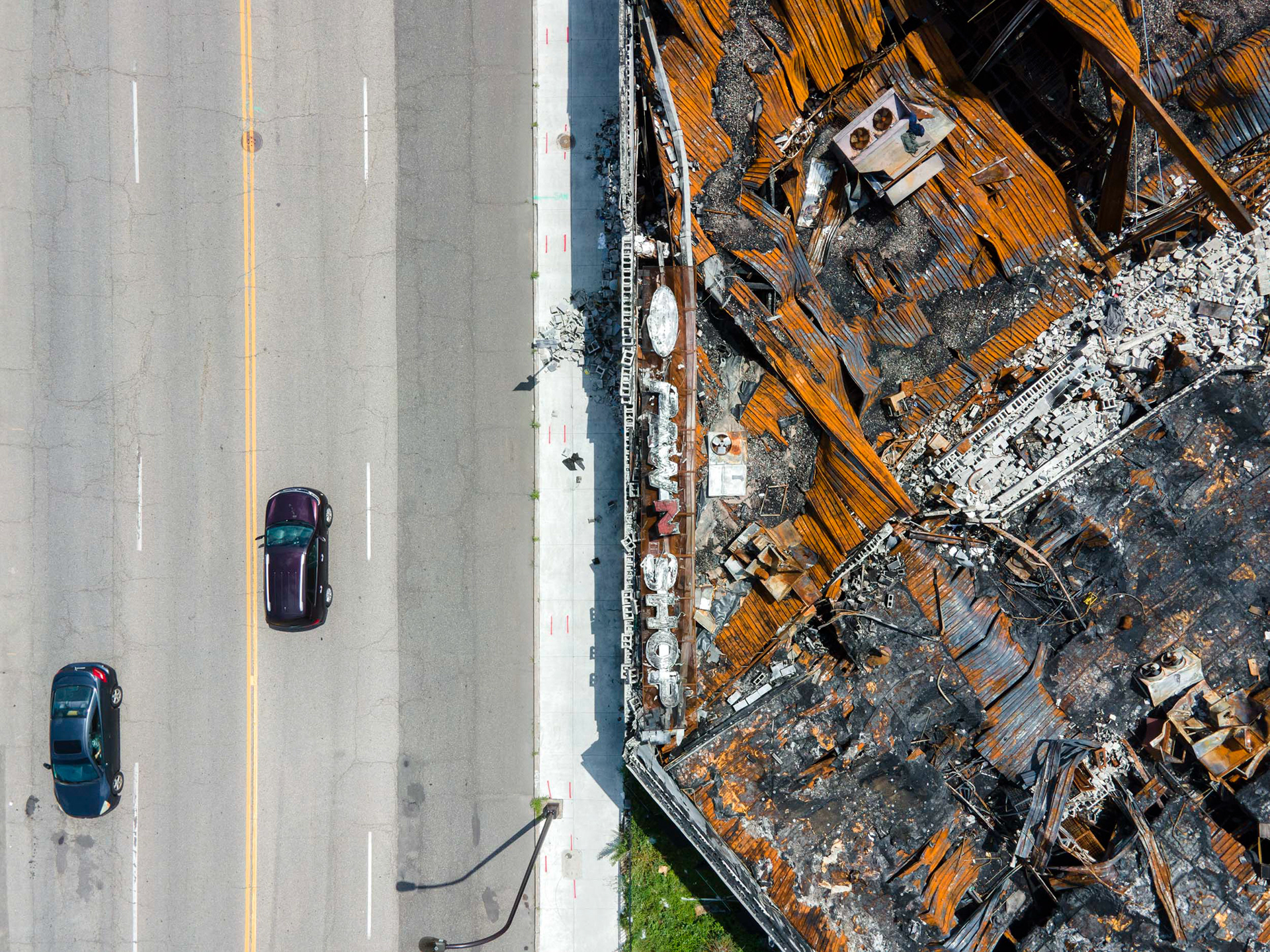
Vehicles drive by a pawn shop gutted in the unrest following the murder of George Floyd.
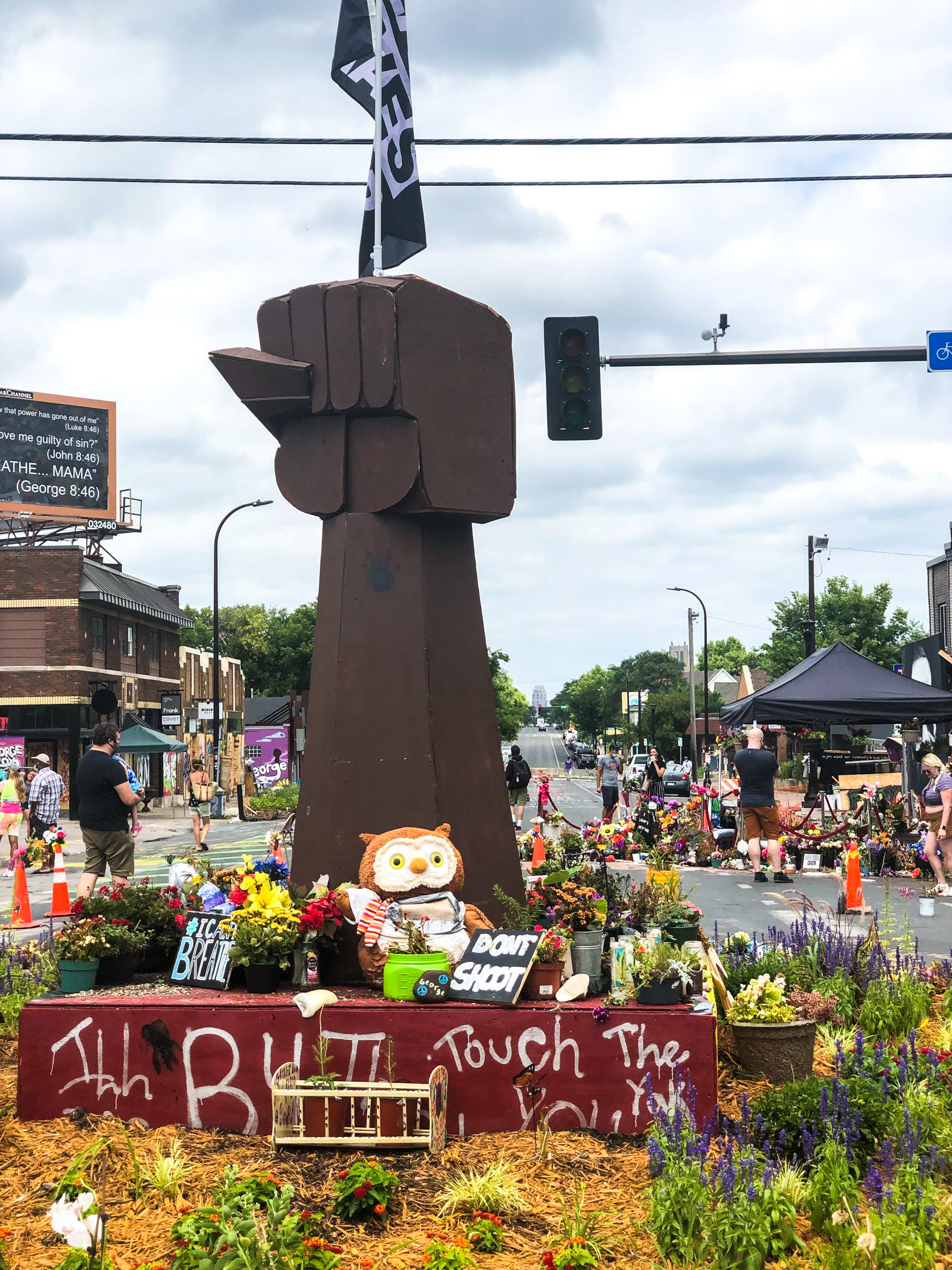
The memorial to George Floyd at the site of his murder is officially a police "no-go" zone.
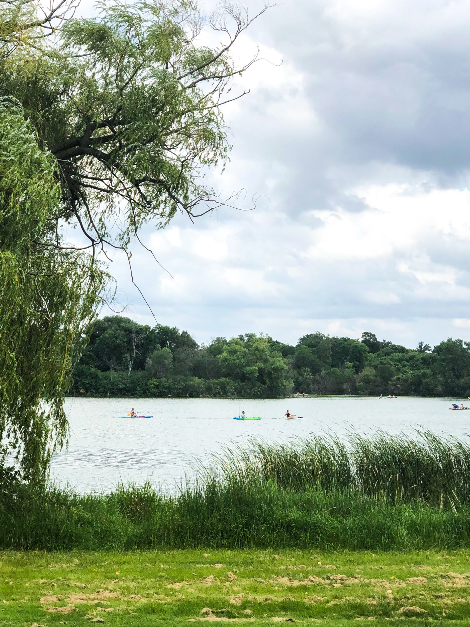
Several blocks to the west, kayakers and paddleboarders relax on the waters of Bde Maka Ska.
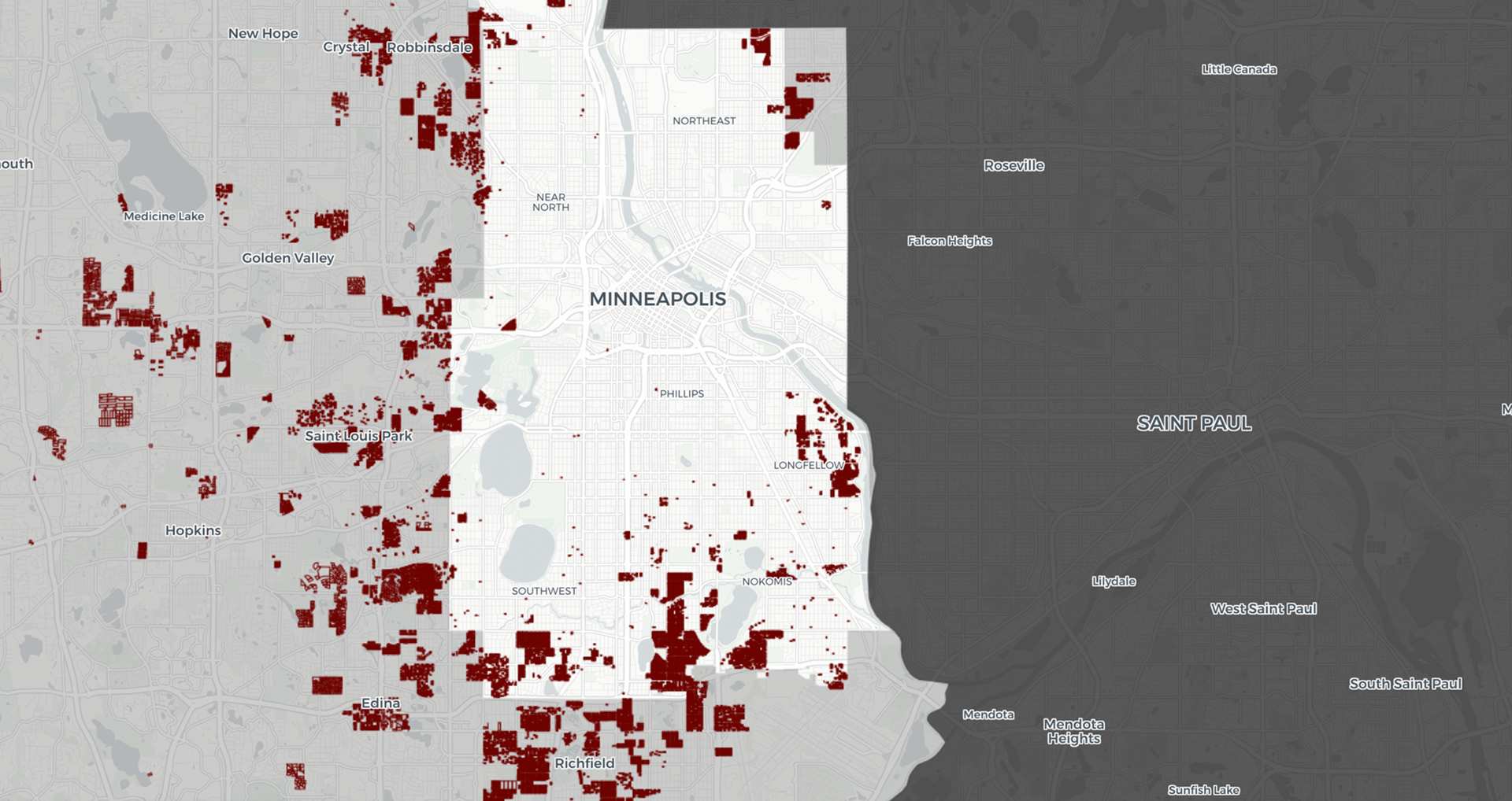
The University of Minnesota project Mapping Prejudice located tens of thousands of racially exclusive housing covenants in the Minneapolis area. The red areas above were almost impossible for non-whites to move, leading to decades of neglect and disinvestment in areas closer to downtown. Moreover, interstate highways built in the 1960s further decimated historically black neighborhoods such as Near North.
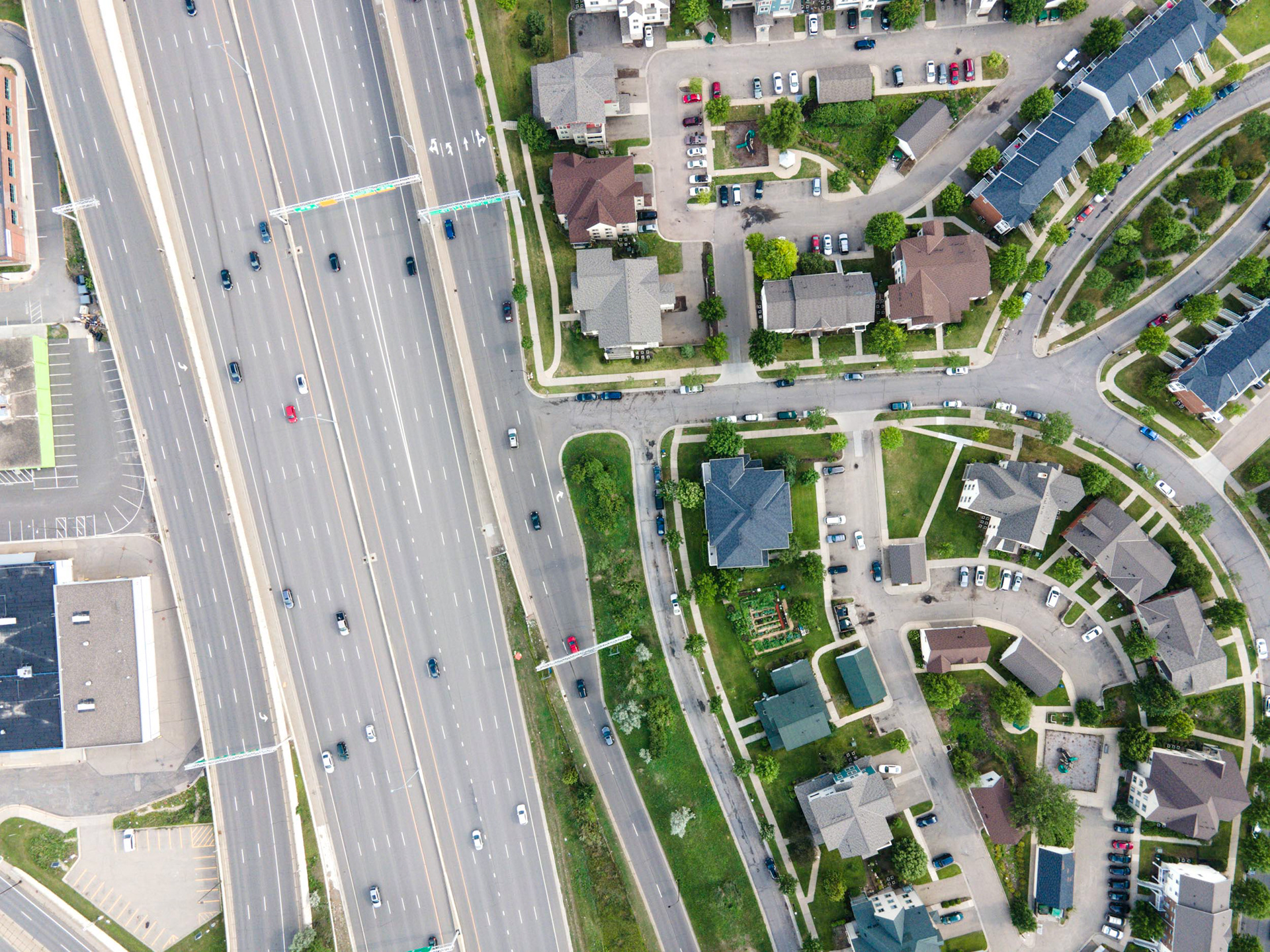
The historic black neighborhood of Near North has been the center of black Minneapolis for decades. A decision to route I-94 through the neighborhood essentially sealed it off from downtown and the Mississippi River.
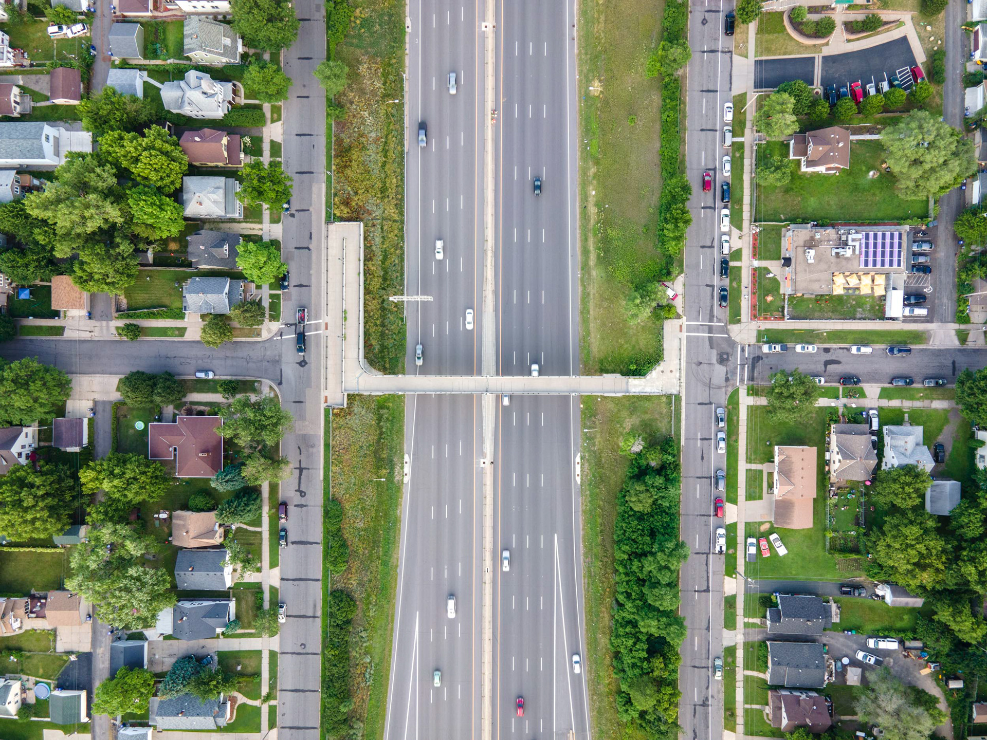
The historic black neighborhood of Rondo in St. Paul was also split in half in the 1960s, when I-94 was built through the middle of that neighborhood. The decision to build the interstate there, and not along the railways slightly to the north, still angers residents.
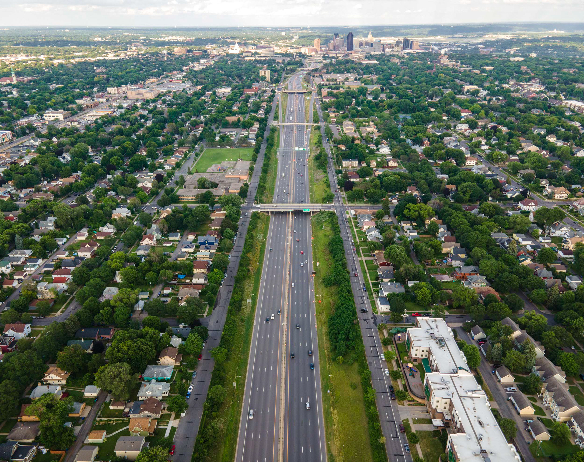
The Rondo neighborhood today, split by I-94.
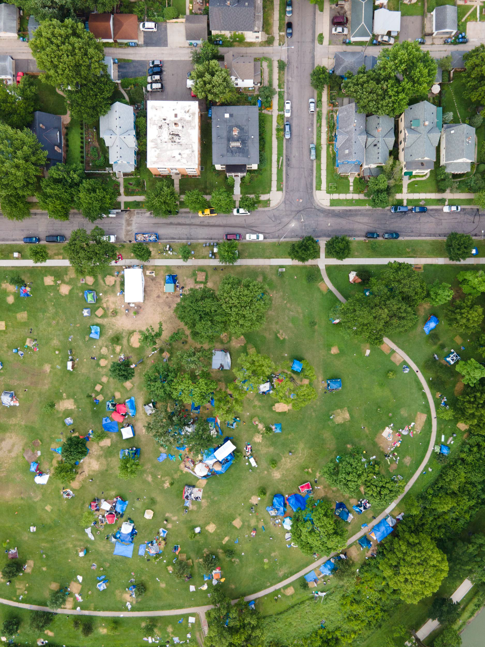
In the summer of 2020, hundreds of homeless people pitched tents in Powderhorn Park in south Minneapolis, a short walk from where George Floyd was killed that May. Many had been evicted from a hotel that activists had turned into a makeshift shelter during the unrest, and with the pandemic discouraging the usual encampment sweeps, the city's park board voted to declare its parks "refuge space" and let them stay. The camp grew into the largest in Minneapolis history, swelling to hundreds of tents. This photo was taken in Powderhorn Park on July 18, 2020.
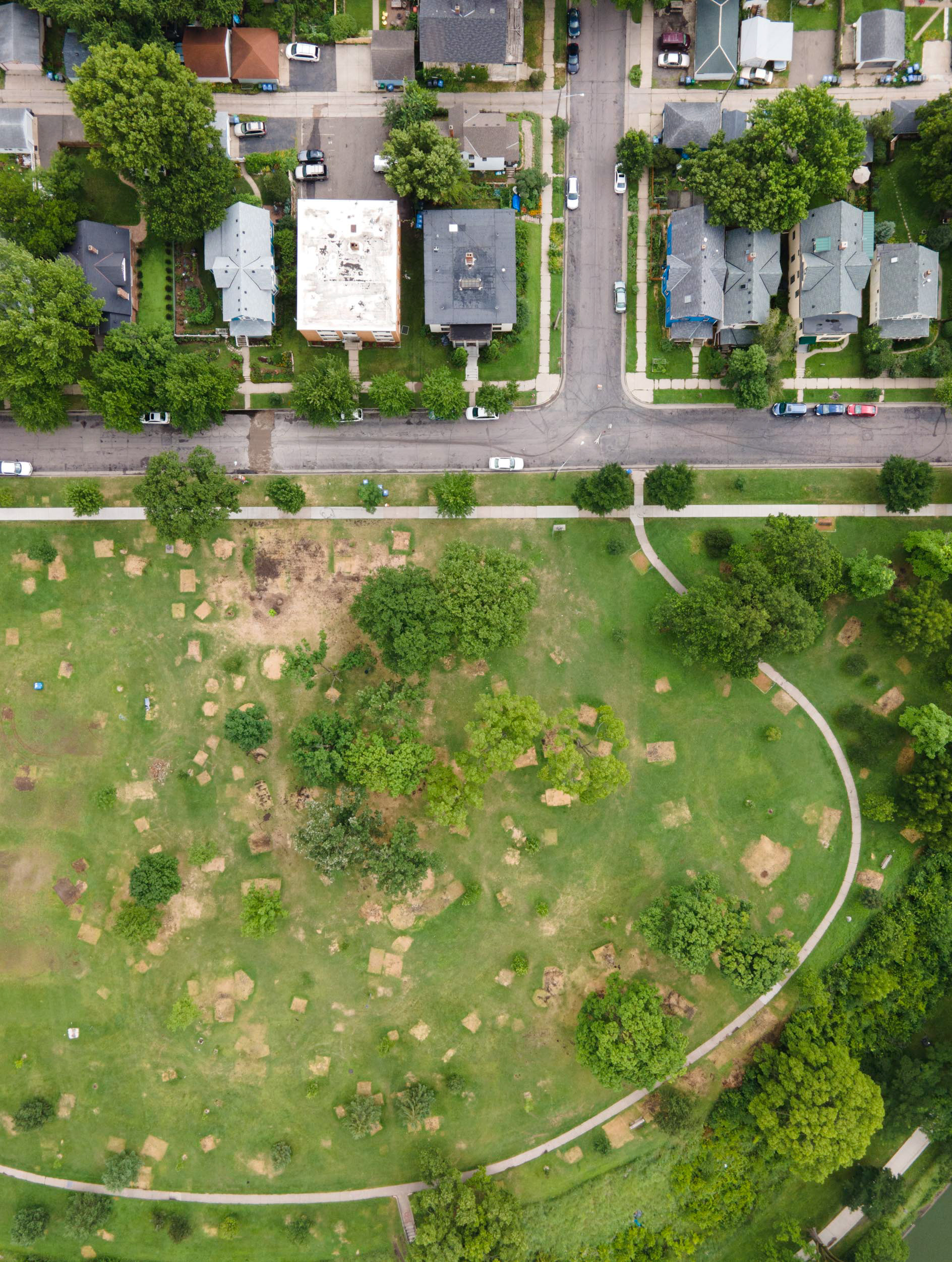
Just weeks later, the same ground was cleared. The east encampment had swelled past three hundred tents and grown increasingly dangerous, with reported assaults, shootings and overdoses, and volunteers who had sustained the camp began to pull out. The Minneapolis Park and Recreation Board reversed its open-door resolution, voting to cap encampments at twenty-five tents across a limited number of parks and to empty this site. The state rented school buses to carry residents to other parks. This photo was taken on July 21, 2020, after the board ordered everyone removed.
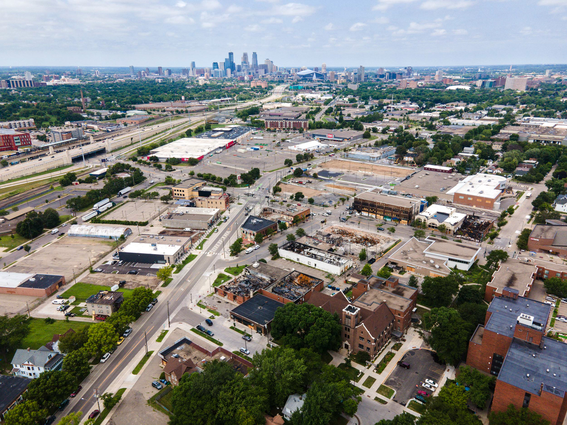
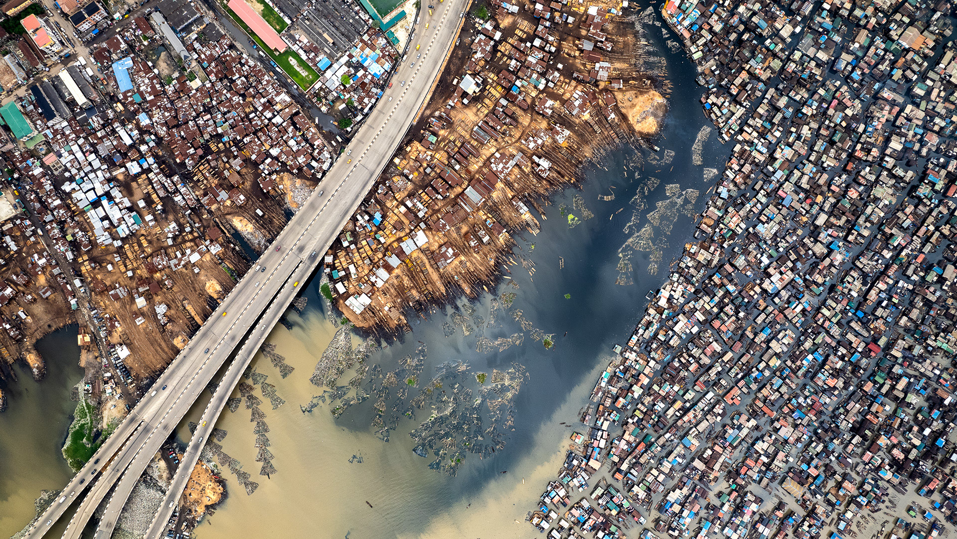
Businesses lay in ruins at the intersection of Lake St and Minnehaha Ave, where the abandoned 3rd police precinct still stands. Sadly, many of the destroyed businesses serve the very communities which have been oppressed, creating a media spectacle leaving the cause of racial justice ambiguously advanced.
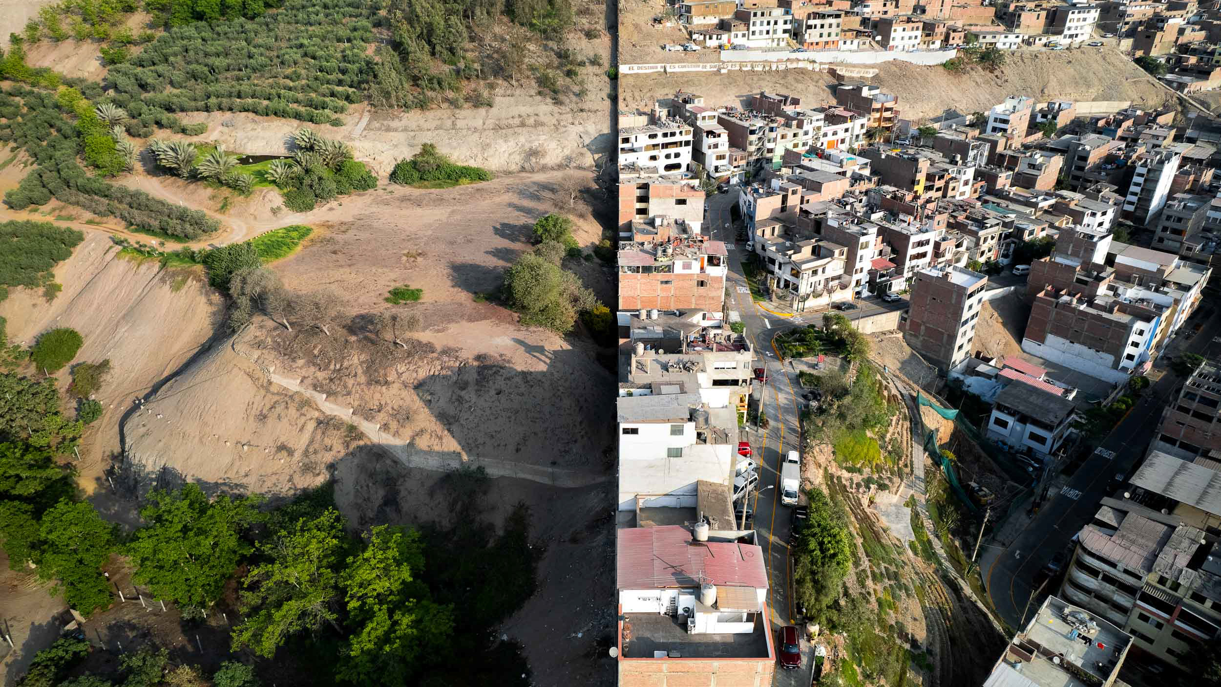
The Near North neighborhood has been historically a black community for over 100 years. Various civic projects designed to uplift and marginalize the population under the guise of "Development" (I don't have the scope to explain each in detail here, but this website is a good start for information) have been completed and some are still ongoing (see construction here).
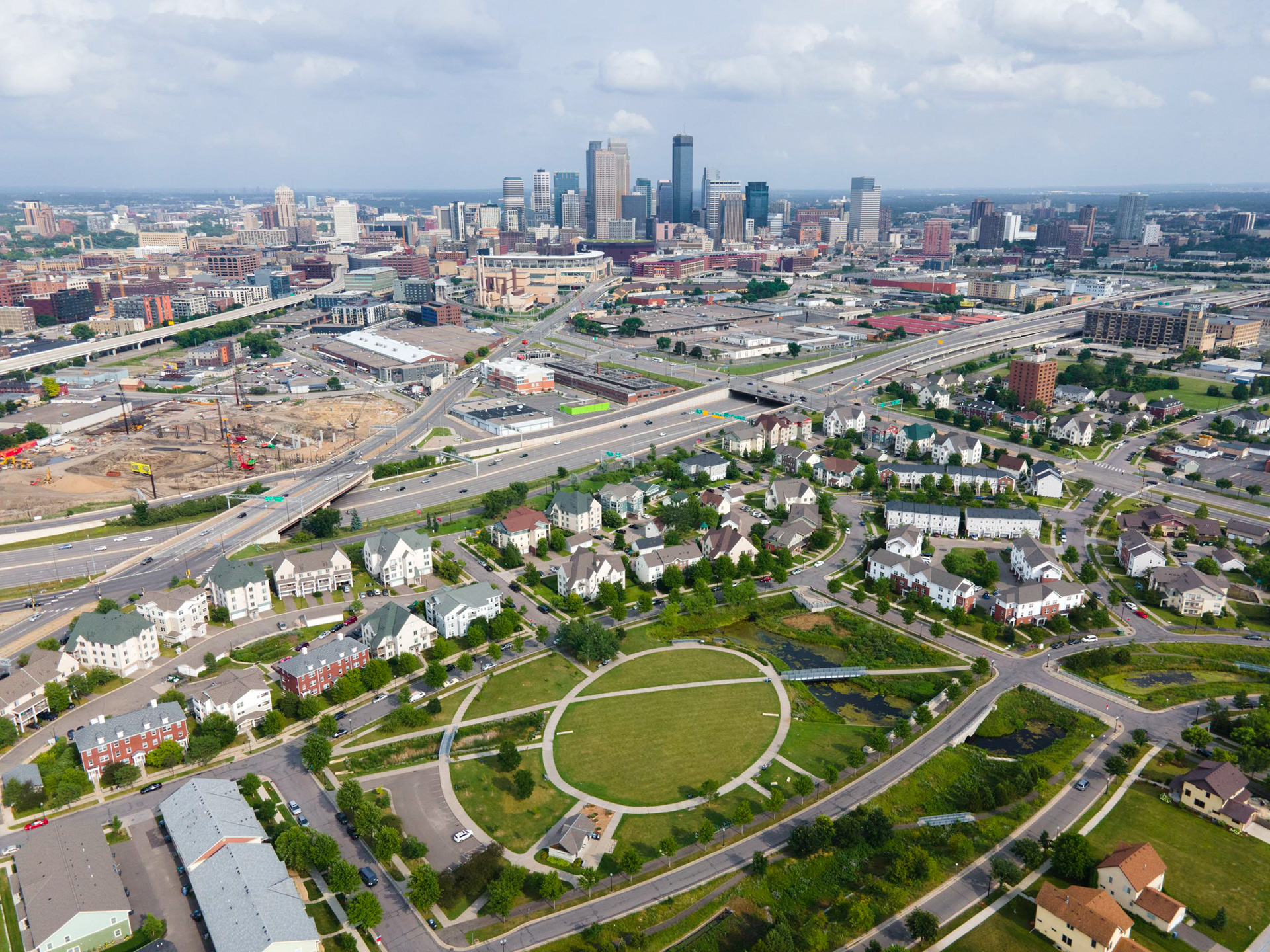
This development was Minneapolis' first public housing project (called Sumner Field) until the early 2000s, when it was razed to become "Heritage Park". Today, a light rail project is mooted to travel along the southern boundary of Heritage Park (visible in the upper right).
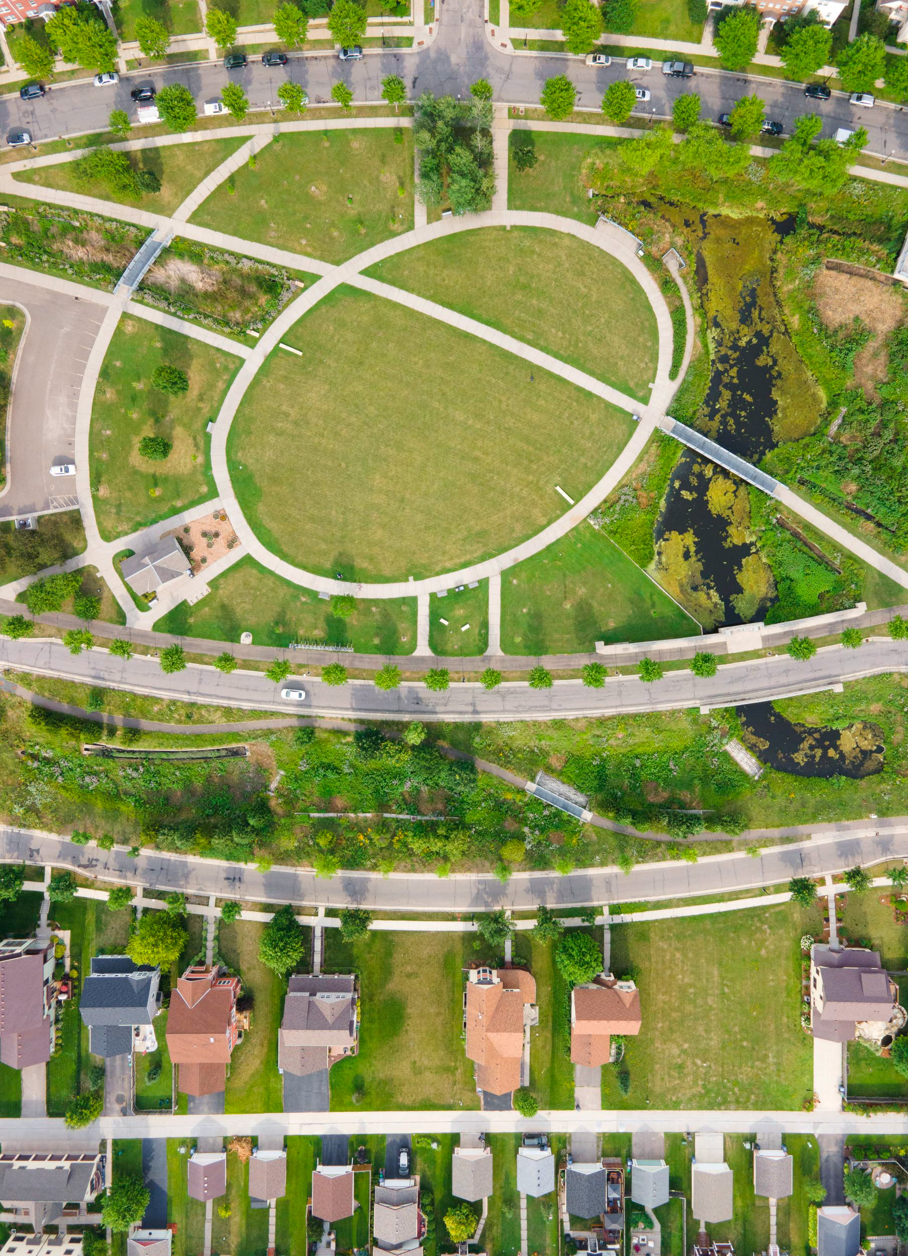
Heritage Park, in the Near North neighborhood, one of Minneapolis' most historic black areas.
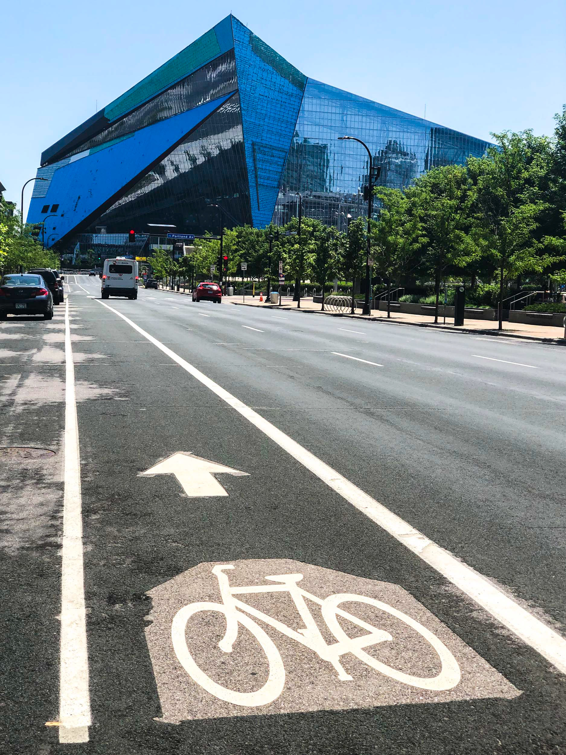
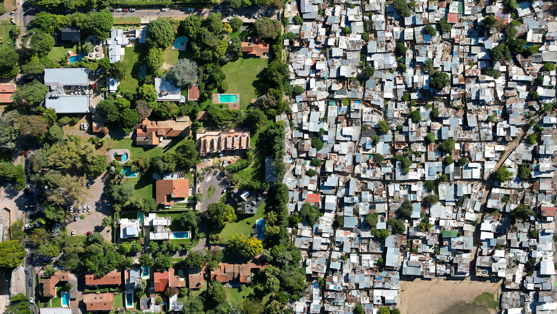
Bike paths and gleaming new sports arenas belie the many problems that face Minneapolis. The inequality and the racism found here are found in all American cities. The solution will take clear economic and social policy choices and many decades to overcome.