The continental shelf off the coast of Georgetown has been discovered to contain 11 billion barrels of oil, the largest find in decades. It's estimated that the potential windfall could be as much as a half trillion dollars (!), a tremendous sum for a country of only 800,000 people. Venezuela, Guyana's much bigger and more powerful neighbor, is currently making active plans to invade and annex much of Guyana's coastline, potentially igniting a larger war and drawing the region into turmoil.
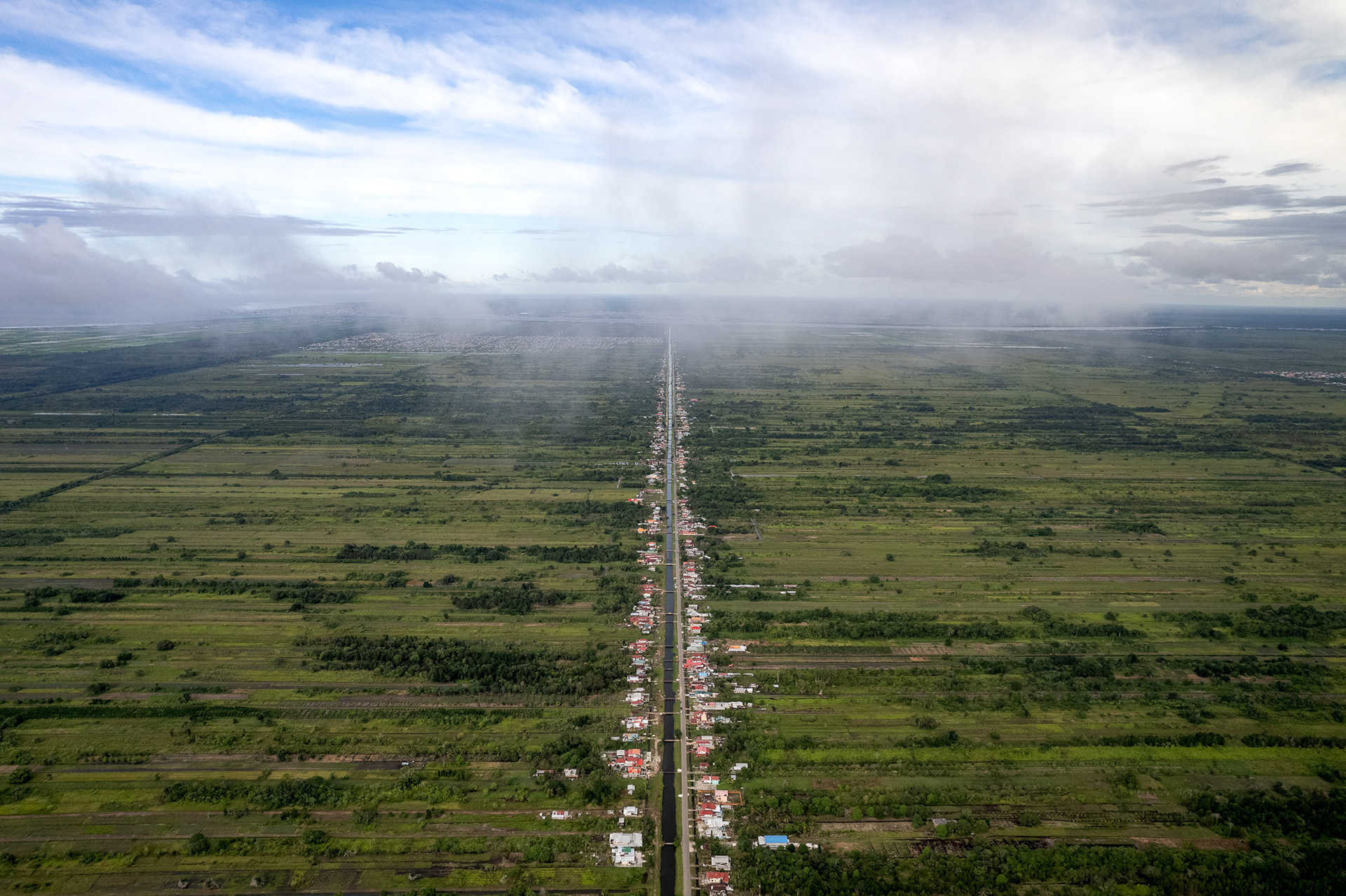
Plots of land to the west of Georgetown have a peculiar narrow shape, to ensure that each plot has access to irrigation and drainage canals. Most of these plots are only as wide as a house and thousands of feet deep.
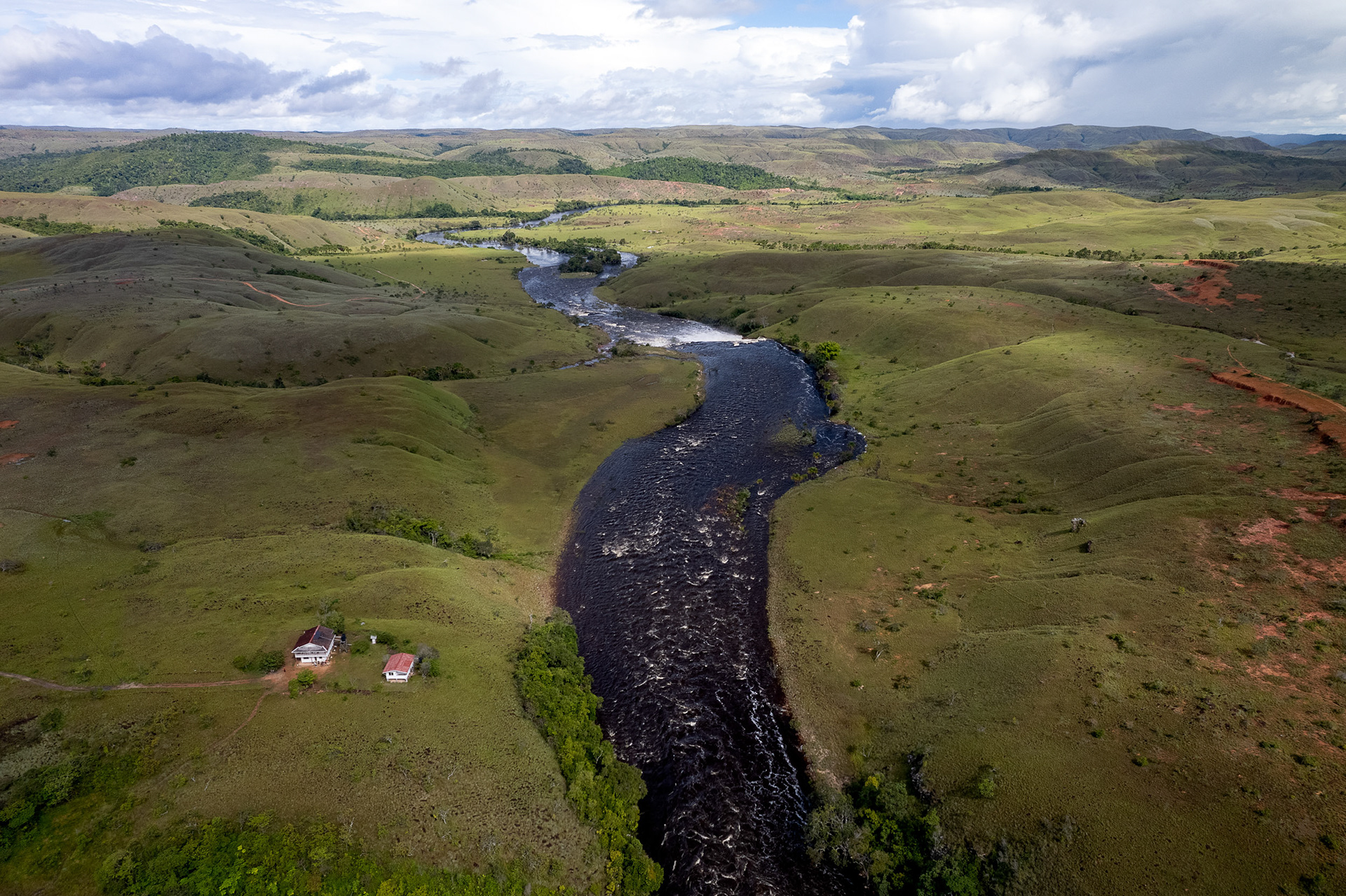
The border between Guyana and Brazil is the Mau River. The southwest of the country is actually a treeless savannah, much different from the dense rainforest just a few kilometers away.
St George's Cathedral, one of the tallest wooden buildings in the world. It's also the spiritual center of Georgetown and a symbol of not only the country's colonial heritage and religion, but also perseverance against the elements.
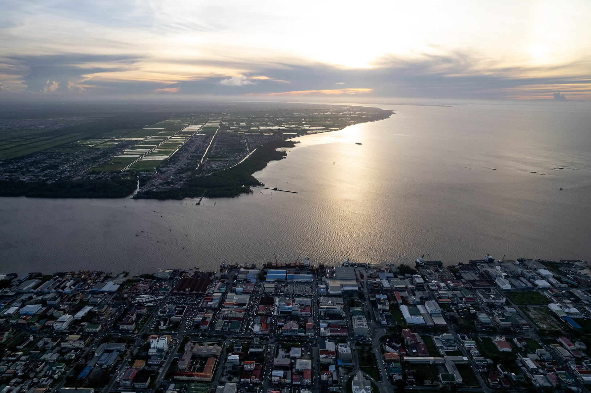
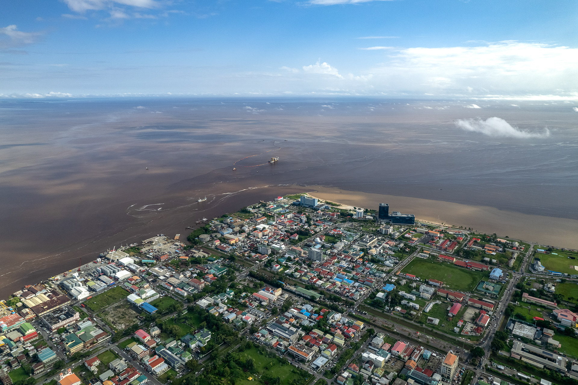
The capital of Georgetown, with the Demerara River in the background. Venezuela claims that a huge portion of Guyanese territory is actually its own, including everything west of the Essequibo.
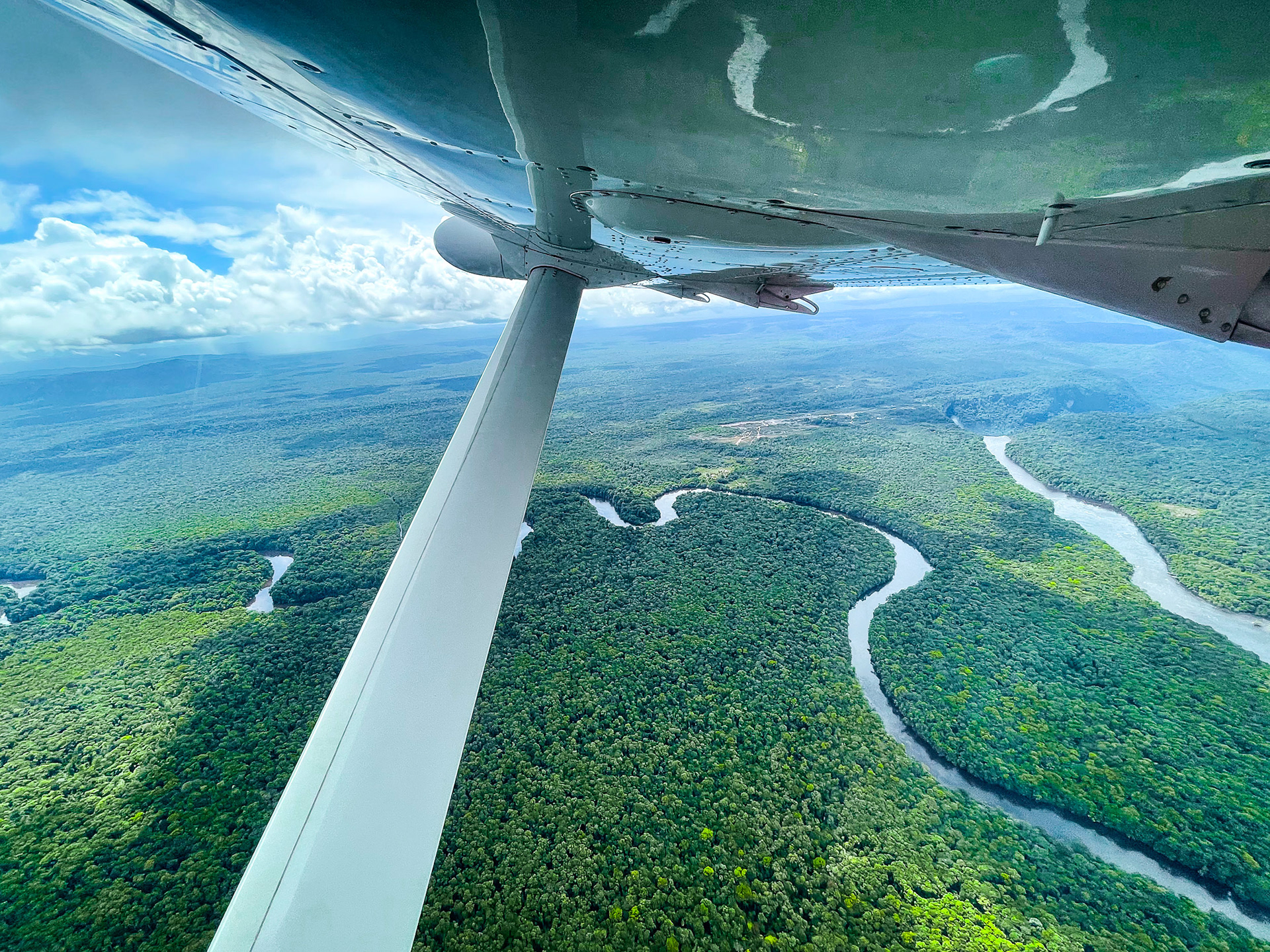
Flying out of Kaieteur Falls, said to be the highest-volume single-drop waterfall, reveals the extent to which Guyana is covered in virgin, almost impenetrable Amazon rainforest.
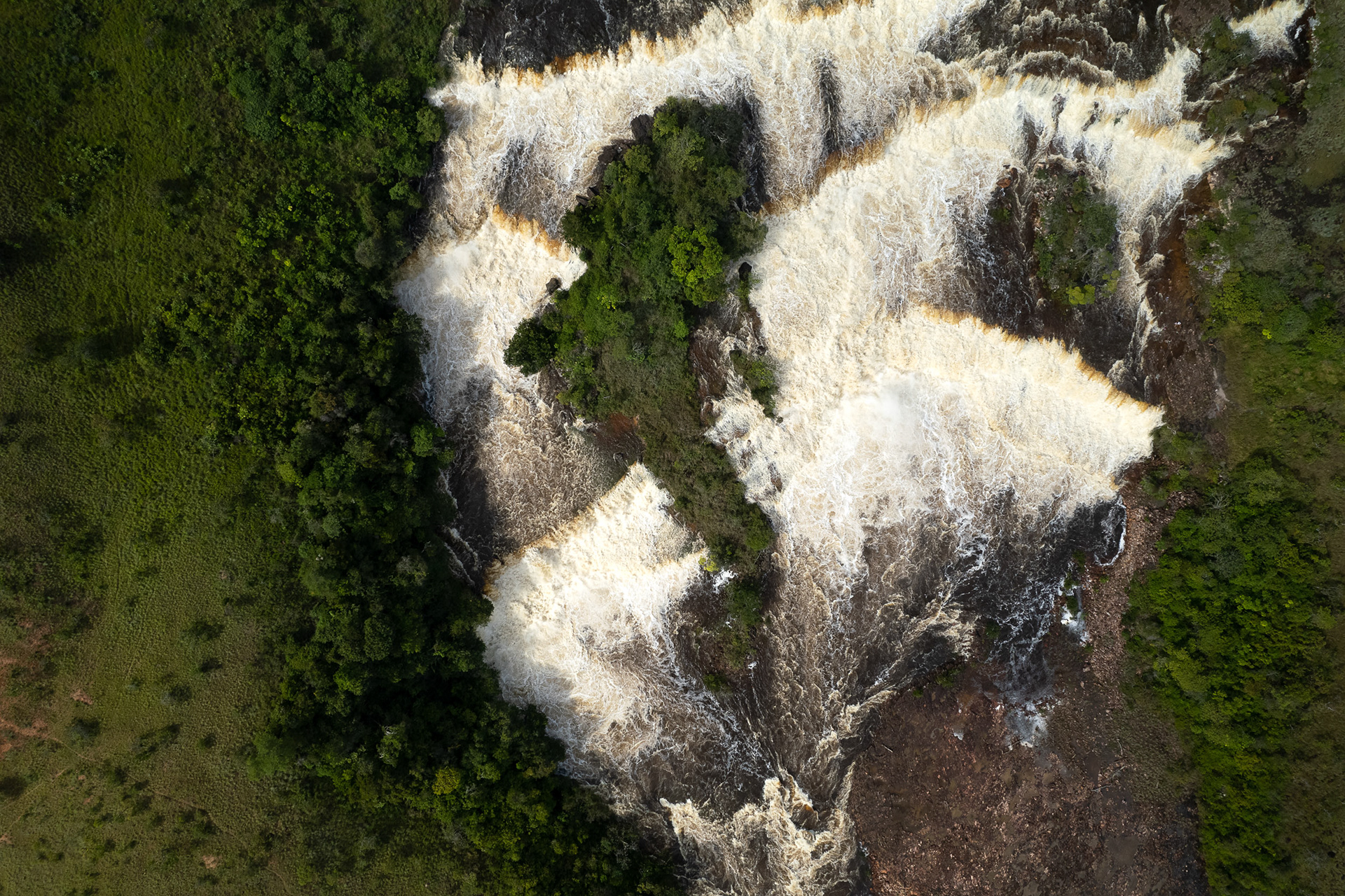
The Mau River, between Brazil and Guyana, has an island within Orinduik Falls that looks to me like a shark swimming upstream.
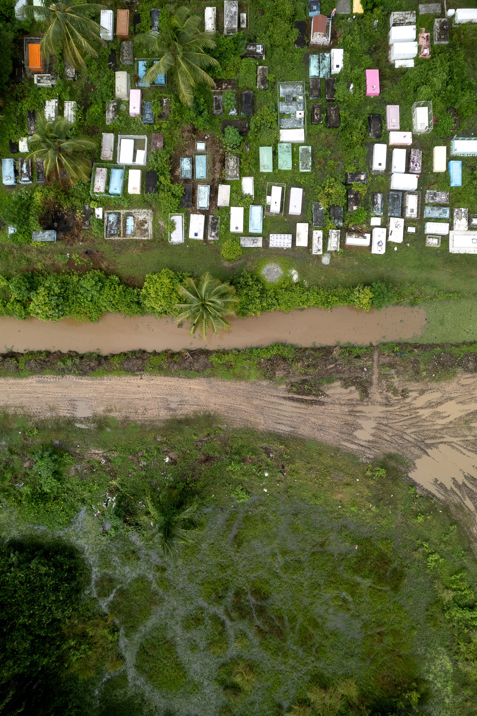
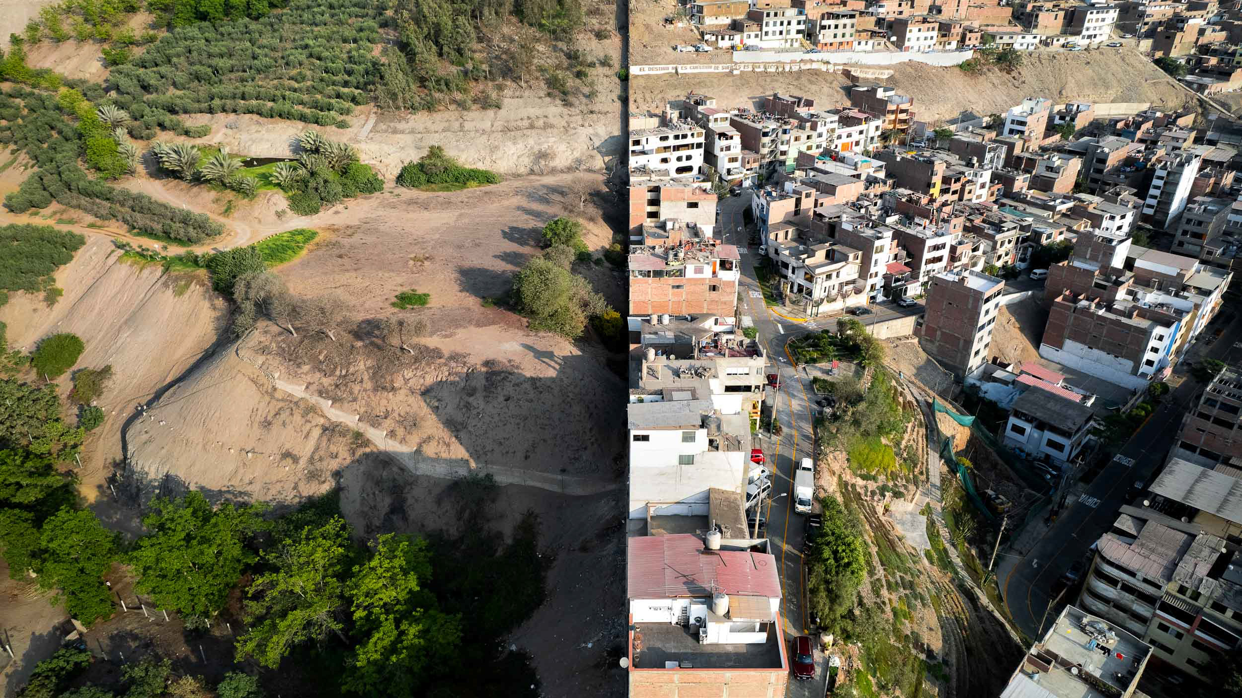
A common cemetery in the fertile land just outside Georgetown, where almost all of the country's population resides.
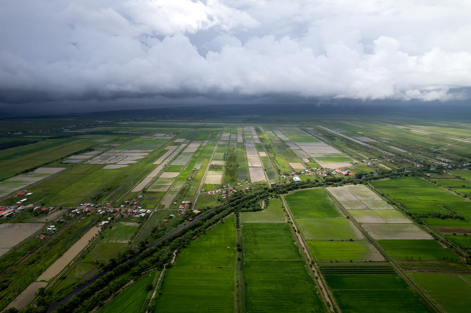
The coastal strip of land between the rainforest and the sea is where almost all of Guyana's population lives, and almost all of its cultivation happens. The Dutch colonizers built a series of dikes and canals to irrigate the land, leaving behind rows of orderly cropland from Suriname to Venezuela.
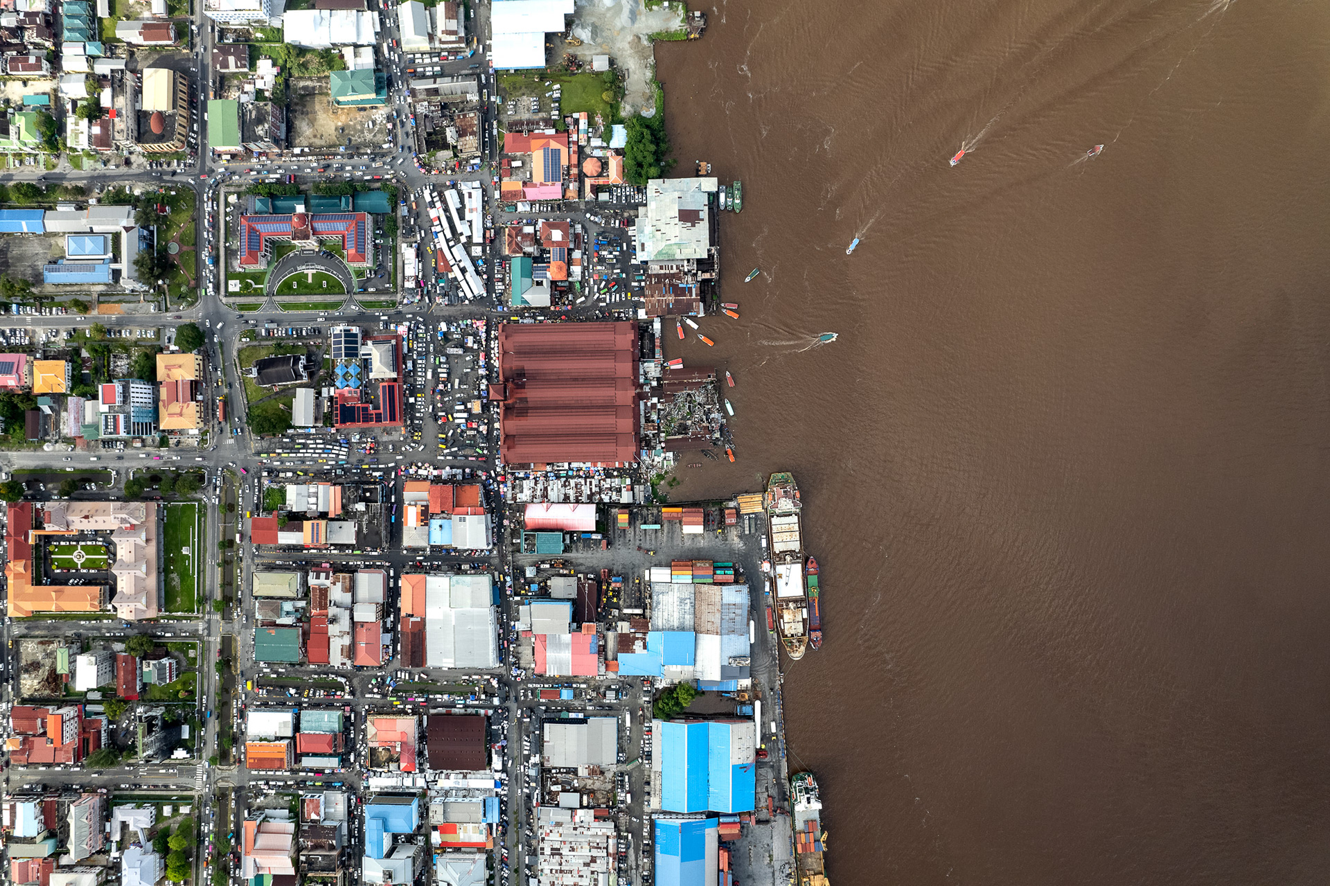
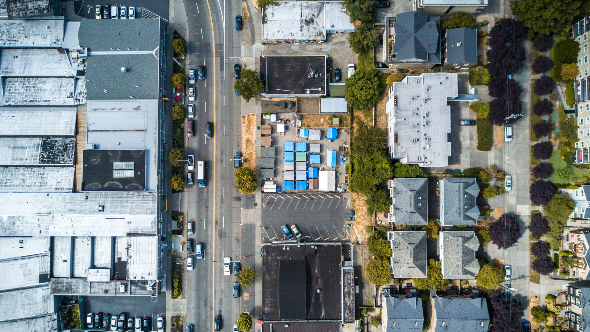
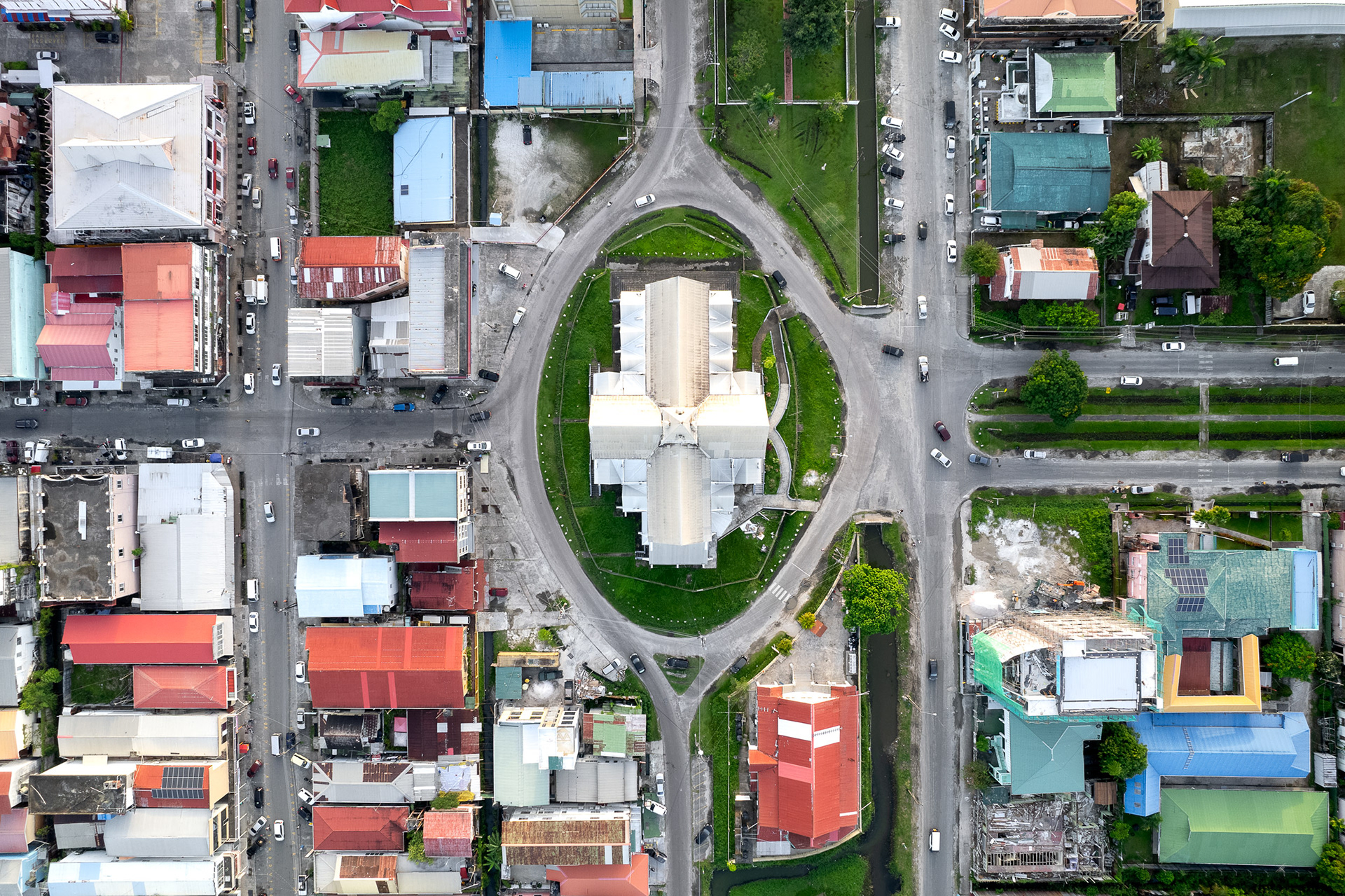
Georgetown, the main port and capital of Guyana, is on the banks of the Demerara River.
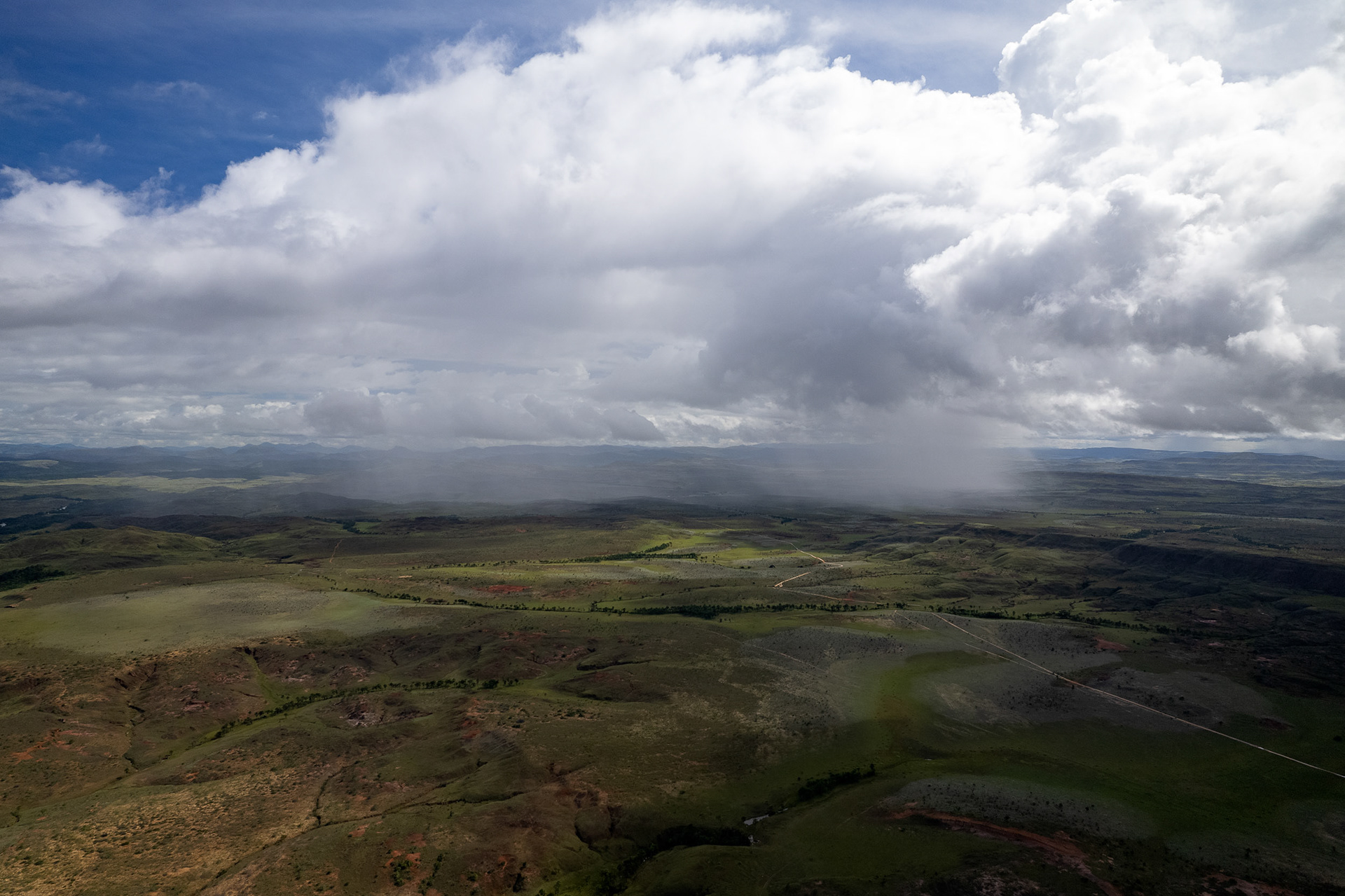
The vast savannah in the country's southwest, only practically accessible by air from Georgetown, is a rolling grassland dotted with indigenous villages.
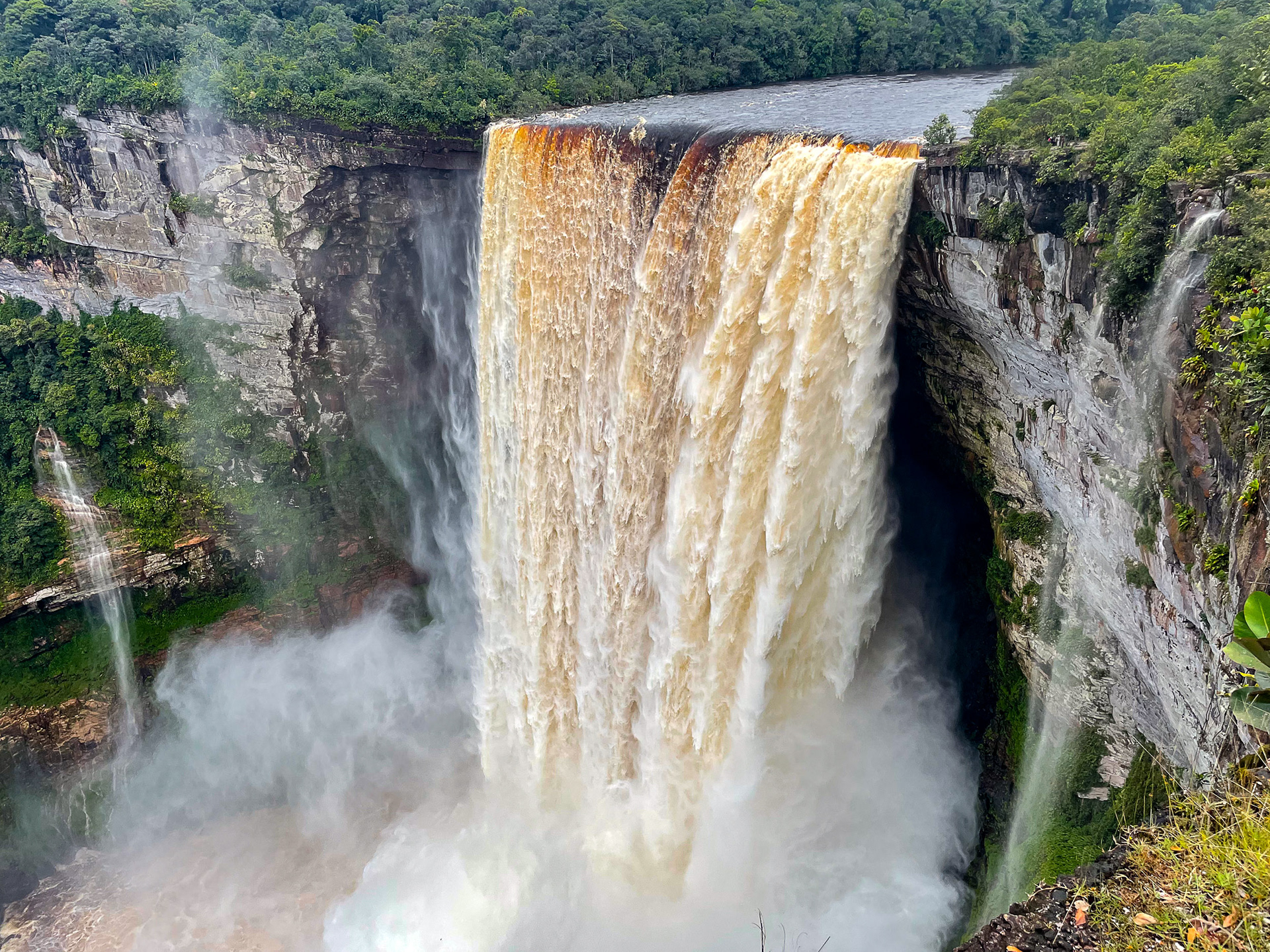
Kaieteur Falls, the world's highest-volume, single-drop waterfall, in the middle of the rainforest, accessible only by air.